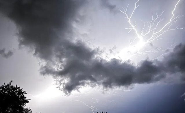
BTN News: Multiple rounds of powerful storms wreaked havoc overnight from West Michigan into Newaygo and Oceana counties, causing damage, debris and power outages. Strong winds and heavy rain passed through the area, leaving more than 28,000 Consumer’s Energy customers without power as of early Monday morning. More damaging severe weather did not materialize overnight, though lingering storms remained capable of producing lightning, gusty winds, and local heavy rain.
Van Buren, Allegan, Kalamazoo, St. Joseph and Calhoun counties bore the brunt of the damage, mainly downed trees, tree limbs and power lines everywhere. The downpours also resulted in significant flooding in Kalamazoo and Portage, leading to some closed roads. A Flood Warning was still in effect until 9:15 a.m., for much of Kalamazoo County, showing just how serious the conditions were.
Following reports of a tornado sighting seven miles southwest of Otsego in northeast Van Buren County, the National Weather Service issued a brief tornado warning at 9:57 p.m. Although the warning was quickly canceled about 20 minutes later, NWS teams were to conduct surveys Monday to confirm whether a tornado did touch down.
The Kalamazoo/Battle Creek International Airport reported a 76 mph wind gust at the peak of the storm at 10:22 p.m, illustrating the intensity of the system.
While the measure of the strength of nature unleashed is terrifying, it is a stark reminder to administration and residents to heed out for more, as local cleanup and recovery efforts moves on the site of the impacted areas.


